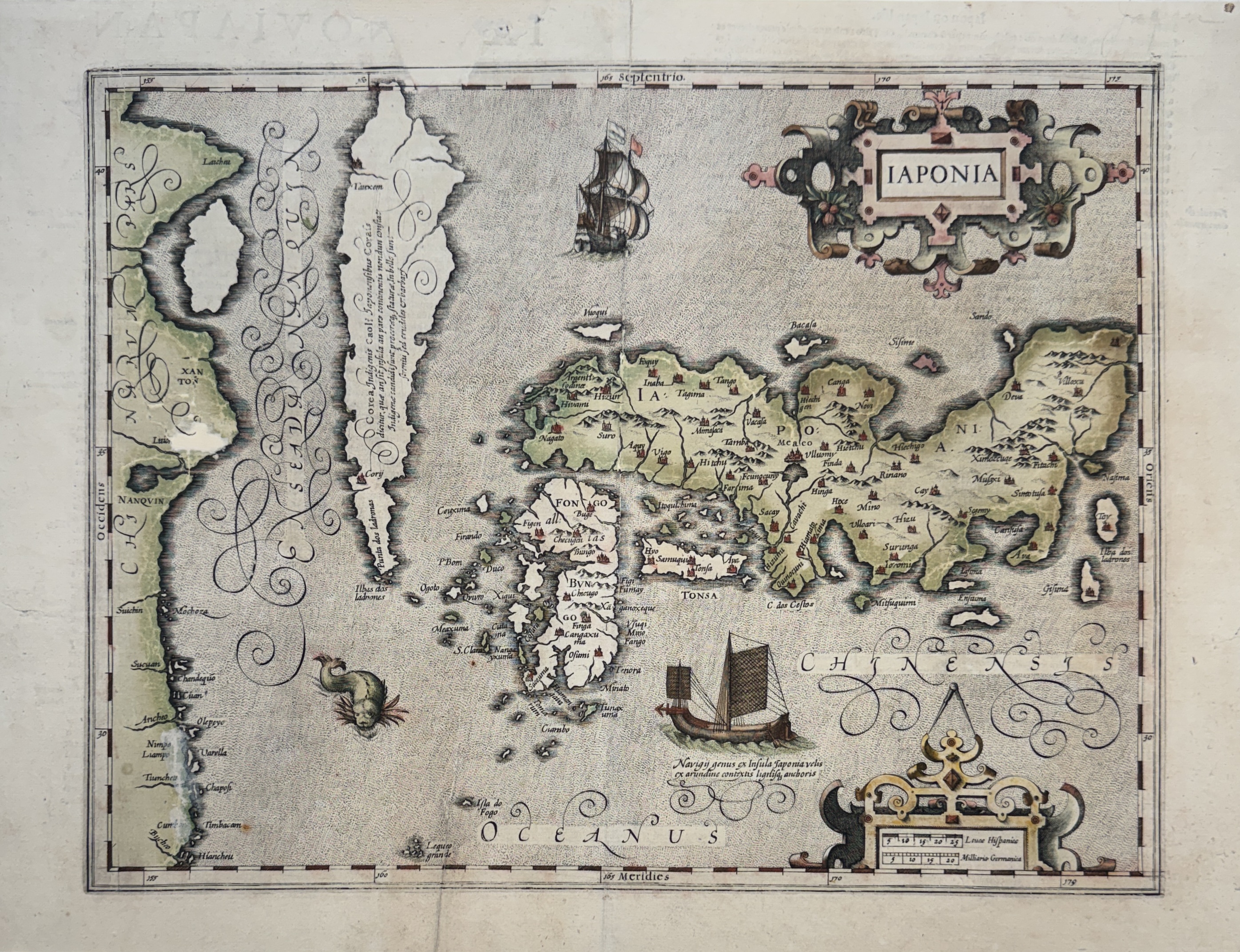

Map in old colours, formerly backed, missing parts and restorations in several places, the original text visible through the back.
Map of the islands of Japan, created by Jodocus Hondius in the early 17th century and first published in the 1606 Augmented Mercator Hondius Atlas.
This map is largely based on the Ortelius-Teixeira map of 1595 and depicts Korea as an elongated island,
as well as the three main islands of Japan.
It illustrates the first attempts at an accurate geographical representation of Japan, based on available information
provided by merchants, missionaries, and earlier maps.
This map also symbolizes the period of intense cultural and commercial exchange between Japan and Europe, just before
Japan's isolation (Sakoku) under the Tokugawa shogunate.
Reference: Campbell 13.
JAPONIA
- Brand: HONDIUS JODOCUS INITIALEMENT HONDT JOOS DE ( 1563–1612 )
- Product Code: Eau-forte en coloris anciens
- Availability: In Stock
-
450.00 €