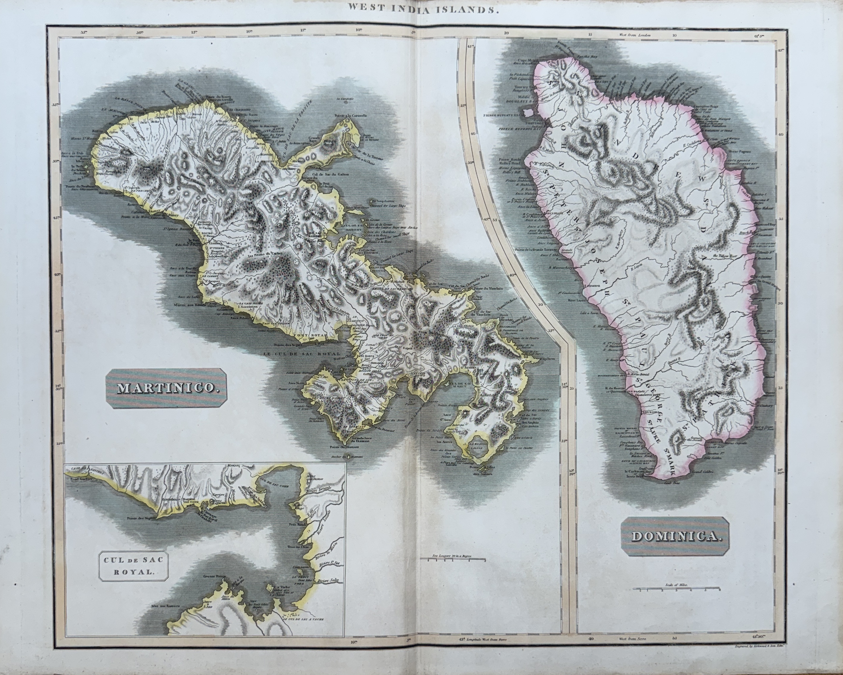
Map of the islands of Martinique and Dominica, and an enlarged detail of the "Cul de Sac Royal" (present-day Fort-de-France Bay).
Published by cartographer John Thomson around 1814-1817 and engraved by Kirkwood from the "New General Atlas."
A good impression in original handwriting, with full margins, slightly yellowed at the outer edges, with the usual center fold.
WEST INDIA ISLANDS, MARTINICO, DOMINICA
- Author : THOMSON JOHN ( CA. 1777-CA.1840 ) EDITEUR ET CARTOGRAPHE
- Technic: Eau-forte aquarellée
- Width : 640.00
- Height : 543.00
- Leaf width : 690.00
- Leaf height : 545.00
- Availability: In Stock
-
280.00 €