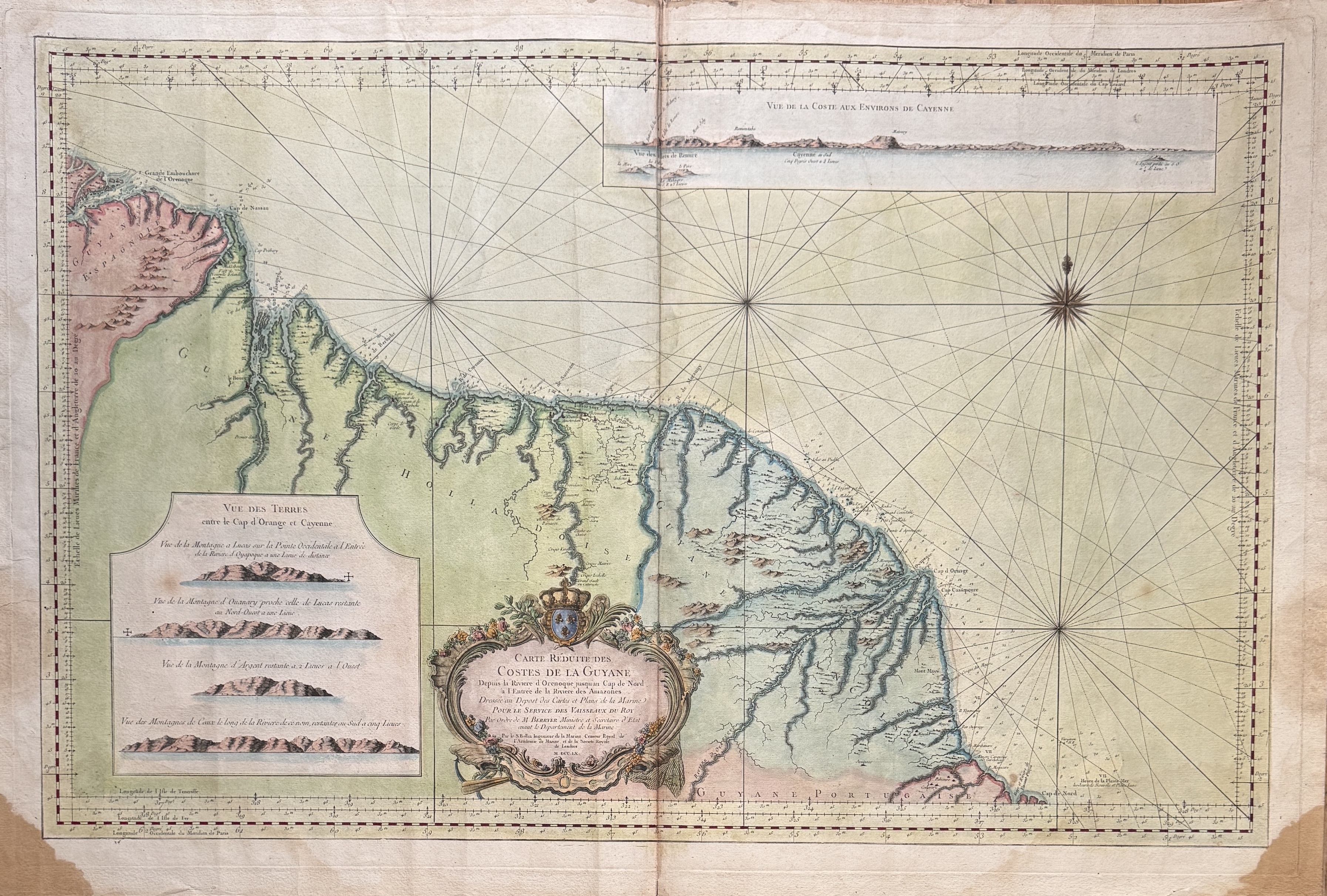
A fine map with full margins in antique colors, with the usual central fold, two brown stains in the outer corners, and slight yellowing mainly along the edges.
Created by Jacques-Nicolas Bellin (1703-1772), First Engineer of the Naval Map and Plan Depot, under the ministry of M. Berryer, for the King's ships.
1760
CARTE REDUITE DES COSTES DE LA GUYANE ( SIC )
- Author : BELLIN JACQUES-NICOLAS ( 1703-1772 ) CARTOGRAPHE
- Technic: Eau-forte aquarellée
- Width : 895.00
- Height : 590.00
- Leaf width : 938.00
- Leaf height : 620.00
- Availability: In Stock
-
200.00 €